North Wales
Many of our stations across North Wales can act as a gateway to key walking routes. You can enjoy walks on the Wales Coast Path, one of the few footpaths in the world that follows a nations coastline, and Offa’s Dyke which runs from Prestatyn all the way to Sedbury Cliff’s near Chepstow. We’ve noted some key routes below;
Wales Coast Path gateway stations
Flint
The uniquely designed Flint Castle marks the start of this walk. To reach Flint Castle from the station walk 0.1 miles / 0.2 kilometres down the aptly named ‘Castle Street’. From here you can enjoy the very flat path that runs along the banks of the Dee estuary, which is a protected site due to its importance for birds and other wildlife.
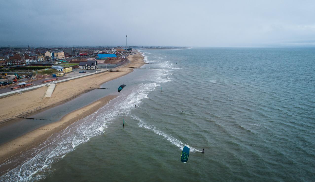
Rhyl
Walk straight ahead out of the railway station for 0.3 miles / 0.5 kilometres down Elwy Street, then Bodfor Street, then Queen Street to reach Rhyl promenade and the Wales Coast Path. On reaching the sea at Rhyl, a seemingly endless stretch of golden sand will now be your companion, whether you turn right toward Prestatyn or left toward Colwyn Bay.
Holyhead
Described by many as one of the finest sections to walk on the path, the walk from Holyhead towards Trearddur has a country park, rugged cliffs, ancient monuments, an iconic lighthouse and a nature reserve as some of its highlights.
And it couldn’t be simpler to reach. Just join the Wales Coast Path on the Celtic Gateway bridge which connects the station with the town of Holyhead.
Pwllheli
The thriving market town of Pwllheli marks the end of the Cambrian line and is another great spot to reach the Wales Cost Path, just outside the station. Head west down North Quay to go towards Criccieth or head south down bullet-straight Embankment Road to reach the coast by the Gorsedd Circle from where you can carry on towards Llanbedrog and Abersoch.
Prestatyn
Uniquely, the journey from Prestatyn railway station to the coast follows one of Wales’ other National Trails, the Offa’s Dyke Path. From the station simply head straight down Bastion Road for 0.5 miles / 0.8 kilometres to reach the Wales Coast Path by Prestatyn’s Nova Centre.
Llandudno Junction
To reach the path, turn left through the station car park and left again onto Conwy Road at the mini roundabout. Go through a short subway and under the flyover before taking the steps or the ramp to join the cob over the estuary to Conwy or along the estuary through Deganwy to Llandudno.
Conwy
One of the most picturesque little towns in Wales, Conwy’s well-preserved narrow streets and medieval castle (see Transport for Wales’s 2-for-1 entry offer to CADW sites) provide a fabulous start to your coastal walk.
From the station (some trains only stop here on request) cross Lancaster Square and head down the High Street for 0.2 miles / 0.3 kilometres to the pretty quay which is home to a small flotilla of colourful fishing boats and the smallest house in Britain. Turn left towards Penmaenmawr and you have a choice of taking the flat roadside route along the coast or the more spectacular - but also more demanding - route along the hilltops and moors to Llanfairfechan.
Llanfairpwll
The station sign at Llanfairpwllgwyngyllgogerychwyrndrobwllllantysiliogogogoch provides an iconic picture opportunity before setting off from this railway station.
To reach the path, it’s a 0.4 mile / 0.6 kilometre walk starting along a grassy track at the back of the railway station. Turn right on Station Road and right again at the junction with the A4080.
You will reach the path in a few hundred yards and have the option to continue straight ahead for South West Anglesey or turn left to reach Nelson’s statue on the banks of the Menai Strait and walk underneath the Britannia Bridge and Menai Suspension Bridge.
Barmouth
An easy stroll across one of Wales’ iconic architectural features awaits you here, crossing the Mawddach estuary over the much-photographed Barmouth bridge, which can only be crossed on foot, bicycle or by train. The Wales Coast Path is 0.1 miles / 0.15 kilometres from the station - just head right down Beach Road when you get off the train.
For additional Wales Coast path itineraries and route maps visit Wales Coast Path / From Rail to Trail.
Getting to walks in Eryri National Park
Eryri National Park
The Cambrian and Conwy Valley rail lines run into the National Park. Our rail services paired with The Sherpa’r Wyddfa bus are a great way to travel around the park.
Planning a walk up Wales’s highest mountain? We’ve highlighted some public transport routes below to help you get there.
Bangor station - From here take the S2 sherpa to Llanberis.
Porthmadog station - From here take the S4 Sherpa bus which will take you to the Watkin Path.
Betws y Coed station - From here take the S1 Sherpa to Llanberis for the Llanberis Path or Pen y Pass for Pyg and Miners Track.
Walks in Snowdonia
Many of our railway stations are starting points for plenty of scenic walks found in and around our villages, towns and cities. With help from Ramblers Cymru we’ve highlighted some stations which make a great starting point for your walk.
Offa’s Dyke gateway stations
Prestatyn
Once arrived at Prestatyn station, make your way to the beach which is located around 0.5 miles away. For those looking for a short walk, from here you can enjoy a 5km walk to Bryniau. Those looking for a longer walk, from the beach aim for the hillside above the town to join the path to Chepstow.
- Offa’s Dyke Path SHORT WALKS
Ruabon and Chirk
For a one-day outing on Offa’s Dyke arrive at either Ruabon or Chirk station to enjoy the 13km walk between both stations. Along the route enjoy views of the dyke such as Chirk castle, and the World Heritage site of Pontycysyllte aqueduct.
For additional information on your visit to Offa’s Dyke, visit Offa's Dyke Path - National Trails