From bus and rail to trail: arrive by train, explore on foot.
The bus and rail network in Wales spans the length of the country, giving you quick and simple access to the breadth of Wales and the rest of the UK. Many of our stations and bus stops act as gateways to renowned national trails and walking routes in Wales.
Pack your rucksack, pull on your hiking boots and jump aboard one of our trains or buses. Go straight from bus and rail to trail to see some of Wales and the Borders’ most beautiful walking spots.
Our favourite walking routes in Wales
Here are our top-rated Welsh walking routes starting near one of our stations or bus stops.
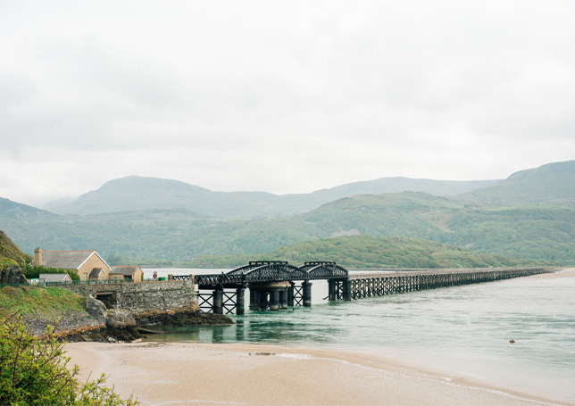
Location: Barmouth
Duration: 2.5 hours
Distance: 4.3 miles
Condition: Stile free
This route follows the Wales Coast Path over Barmouth bridge before following the estuary around to the end of the Fairbourne railway. Here, a small ferry can be used (Easter to October) to make the short crossing back to Barmouth.
![]()
![]()
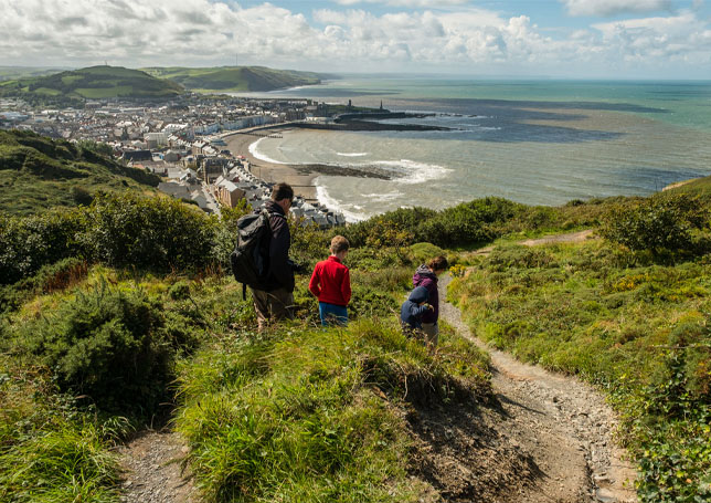
Location: Aberystwyth
Duration: 2.5 hours
Distance: 4.7 miles
Condition: Some uneven terrain
This route includes some coastal and riverside walking around Aberystwyth’s south beach. The walk could be extended to include Pen Dinas Hillfort, depending on your skill level.
![]()
![]()
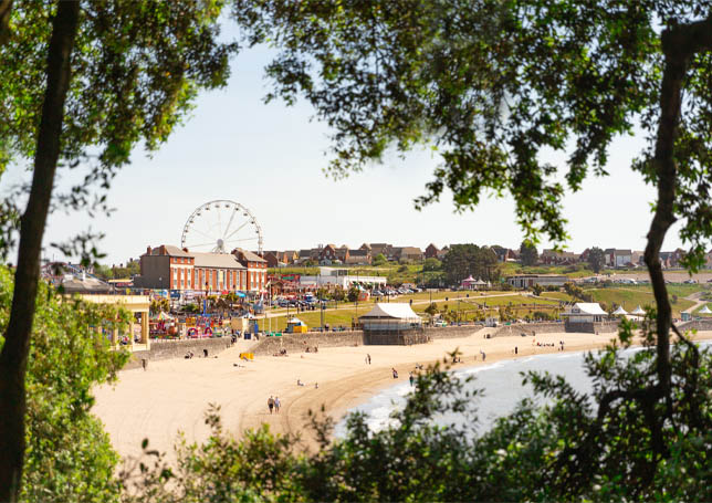
Location: Barry Island
Duration: 1.5 hours
Distance: 2.4 miles
Condition: Accessible for wheelchairs, scooters and buggies
This route follows the Wales Coast Path around Nells Point, Whitmore Bay and Friars Point. The route is mostly flat apart from a steady climb at the start. The views of the coastline are worth it. After your walk, there are several good food options in Whitmore Bay. There’s an option to extend this walk.
![]()
Find walking routes by region
Wales is home to three main national trails that offer over 1,000 miles of walking routes. Explore some iconic routes by region and plan your journey using our journey planner today.


Get inspiration for your next walk or wheel by public transport. See how much of the Welsh countryside can be reached by train or bus! Buy directly for no booking fees today.